
Name:
96-VBK-72A
Latitude: N37°48.728'
Longitude: W119°29.013'
Elevation: 2566m
Location: Tenaya Lake
GPS Accuracy: 3m
Direction: 70
Photo Date: 8/1/2008
Time: 12:30pm
Latitude: N37°48.728'
Longitude: W119°29.013'
Elevation: 2566m
Location: Tenaya Lake
GPS Accuracy: 3m
Direction: 70
Photo Date: 8/1/2008
Time: 12:30pm
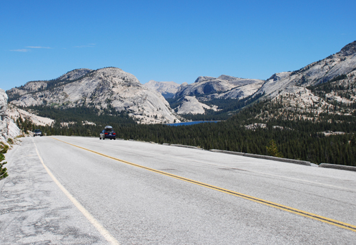
Vale (1994) Reference: 72
Photo Year: 1988
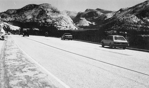
1988
location only
Photo Credits: N.Wasserman (2008); Vale & Vale (1994). University of Utah Press; USGS
Inquires
- email the photographer