Home ~ '08 Map ~ '08 Pictures ~ '07 Map ~ '07 Pictures ~ '06 Map ~ '06 Pictures
Here Ye,
Hikers, hagiologists, protectors of Looners, Looners, spooners, shrimp
shack loiterers, mockers of golf, coal miners, whiners and forty niners
and please bring your friends to round out our numbers at the diner. The
route for the seventh annual Big Hike has been ordained
by the King of Heaven and sent down on the Wings of Angels to us. Along
with the route came the usual disclaimers and edicts complete with bullet
points:
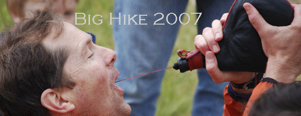
~ Wine, don’t whine.
~ All times are approximate but this year have been reckoned conservatively
so as to more closely mimic reality.
~ Jump in where you like at the following meeting places and prepare to
receive the corresponding title. Wear it with pride.
~ Bring your lunch but be willing to share.
~ Share from the flagon and the gerry can if you care.
~ Sharing caring and just “being there.”
~ Help install the mini shrine. A mini shrine? Yes, if its ready on time!
~ Beat the tide, share a ride. Call a friend on whom you can depend
Here we go...
Looners
- google
map
6:00 AM meet at the China Camp Shrimp Shack. (State Historic Park)
Hike westward over the hill into San Rafael. If the restaurant is open,
Budwisers are on me.
Friends of the Looners
- google
map
8:30 AM meet at Peet’s Coffee in San Rafael. Across the Street
from the Montecito Shopping center. A triumphal march down 4th street
and then up into the open space area above Sun Valley. BIG CLIMB (Right
on H Street, Left on Forbes, Right on Elizabeth Way, hairpin turn and
one more block to Crestwood. A few hundred yards down Crestwood and
we hit open space land for the remainder of the Hike.
Hikers
- google
map
10:30 AM Open Space trailhead at the end of Crestwood Drive. Follow
fire roads along Terra Linda Ridge above Sleepy Hollow, Down Irving
Fire Road to Butterfield road
Half Hikers
- google
map
12:00 PM Butterfield and Irving, San Anselmo. (Pause to celebrate St.
Anselmo’s day.) Turn Right and head toward San Domenico School.
Here is where imagination takes over. I don’t know how to get
from that spot into Loma Alta Open Space, but there must be a way. Let’s
all start looking at maps. Through Loma Alta to the Brown Bridge on
Sir Francis Drake Boulevard.
Creampuffs
- google
map
2:00 PM The Brown Bridge. Go under it and up into White Hill Open Space
to the San Geronimo Ridge Fire Road. Along the Ridge to Spring Trail
or drop down to Forest Knolls on the usual Route. Wave to the friendly
Hippy. (click
to see pictures of creampuffs)
4:20
Valued Support Providers
- google
map
4:30 Arrive In Lagunitas at Piazza Paltrineri to celebrate the Feast
of St. Beuno and St. Anselm. If you star the Big Hike at the end, you
work more but get first crack at the beer and chips. Sausage too…heck
you’ll be cooking it.
Home ~ '07 Map ~ '07 Pictures ~ '06 Map ~ '06 Pictures