
Name:
59-V57-US2069
Latitude: N37°47.811'
Longitude: W119°20.639'
Elevation: 3097m
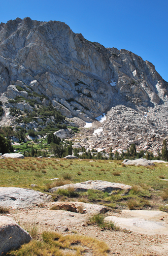
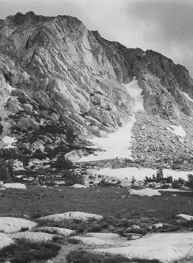
Location: Vogelsang
GPS Accuracy: 4m
Direction: 300
Photo Date: 7/25/2008
Time: 10:23am
Latitude: N37°47.811'
Longitude: W119°20.639'
Elevation: 3097m
Location: Vogelsang
GPS Accuracy: 4m
Direction: 300
Photo Date: 7/25/2008
Time: 10:23am
Vale (1987) Reference: 57
Vale (1994) Reference: 36
Photo Year: 1984
USGS Reference: 2069
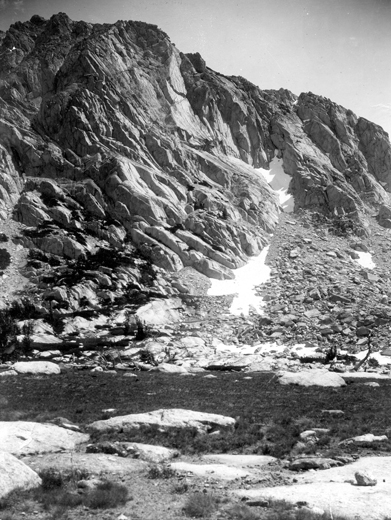
Photographer: G.K. Gilbert
Year: 1903
Caption: Yosemite National Park, California. Cliff southwest of Fletcher
Lake, showing joints in granite. 1903.
Photo Credits: N.Wasserman (2008); Vale & Vale (1994). University of Utah Press; USGS
Inquires
- email the photographer