Name:
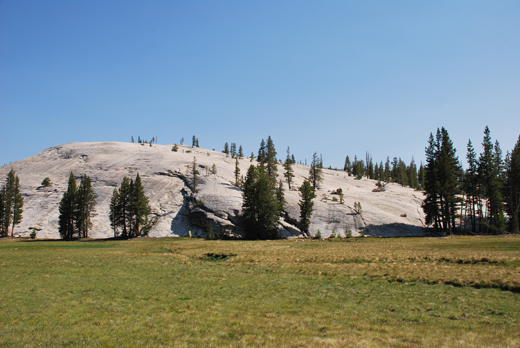
63-VBK-03
Latitude: N37°52.619'
Longitude: W119°23.680'
Elevation: 2621m
Location: Pothole
GPS Accuracy: 3m
Direction: 120
Photo Date: 7/10/2008
Time: 10am
Latitude: N37°52.619'
Longitude: W119°23.680'
Elevation: 2621m
Location: Pothole
GPS Accuracy: 3m
Direction: 120
Photo Date: 7/10/2008
Time: 10am

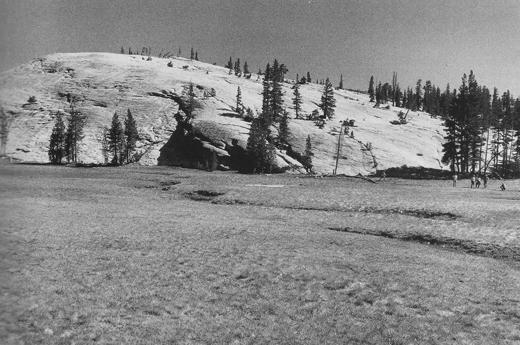
Vale (1994) Reference: 3
Photo Year: 1987

USGS
Reference:
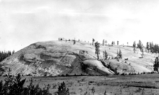
Photographer: F.E. Matthes
Year: 1917
Caption: Yosemite National Park, California. Pothole Dome, a roche moutonnee
of massive granite at the lower end of Tuolumne Meadows. The rock is characterized
by many discontinuous, horizontal fractures which have somewhat promoted
the reduction of the ridge by ice. Circa 1917.

Photo Credits: N.Wasserman (2008); Vale & Vale (1994). University of Utah Press; USGS
Inquires
- email the photographer
